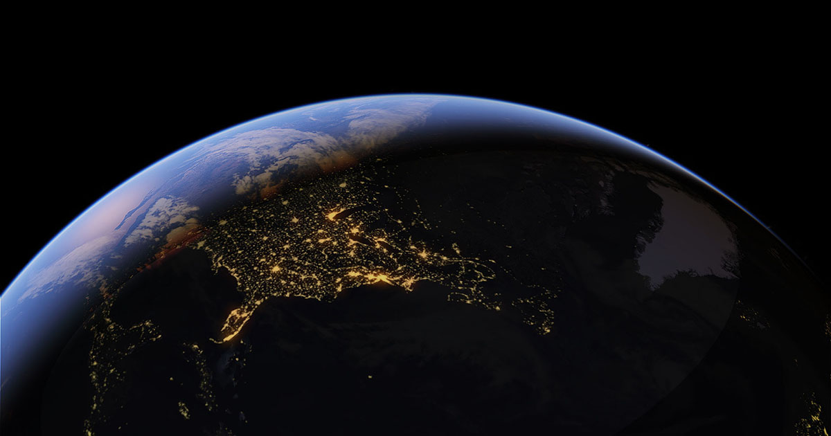
Google Earth

Google has many tools that can be used to access a variety of resources for our convenience and knowledge development. One of the tools which really stand out to me, is Google Earth. Often, I use Google Earth for searching what an area looks like, where there might be a cute area to walk around, or what a house I am looking into buying may be like. However, there is so much more to Google Earth and its ability to provide useful information about the world.
Google Earth is combined of "satellite imagery and geospatial data sets" which provide teacher, scientists, researchers, and professionals the ability to explore the earth. Things that can be found consist of trends, changes in the earth, locations, and researchers can "quantify differences on the earth's surface". Google earth is continuing to be a free resources for academics and research, however, it is also used for commercial reasons now. (https://earthengine.google.com)
There are many ways the Google Earth can be used in the classroom setting, however, it is a great source to use when taking a virtual class trip! As a physical education teacher, I can use the satellite images to show my students where the world's first olympics took place on the map and zoom in to see the actual area it was located. Google earth will even give you the opportunity to view locations in 3D vision. Another hidden feature of Google Earth is the ability to discover under water imagery, which can be a great resource for some classroom environments. This is also a great opportunity to teach your students how to navigate google earth in order to know how to find specific locations and perspectives for research. Overall, google earth gives anyone the ability to view the earth from a satellite perspective, in order to construct effective world research.
-Google. (n.d.). Google Earth Engine. Google Earth engine. Retrieved April 10, 2023, from https://earthengine.google.com/
I also think google Earth is a useful tool in the classroom! Upon using google earth for the first time back when it first came out, I mostly viewed it as a fun tool to explore. I really didn't see much practical use other than for curiosity purposes but I've realized that school trips are all the much better in 3D. I watched a youtube video on Ancient Egypt as an explorer journeyed around the pyramids, but when I went on google earth for a more 3D experience it was so much more beneficial. The ability to walk around and feel like you are actually at the location is much more interactive than just watching a video or listening to a lecture!
ReplyDelete